
GroundMap Fusion™
New passes, earlier surveys and repeat capture, fused into one model. Every point graded.
- 13.2 mm · held-out median mismatch between two survey campaigns · Satsop
- Accuracy is measured on every job and stated per job. Accuracy
Registration agreement between scans, not absolute accuracy against control.
Learn more ↗

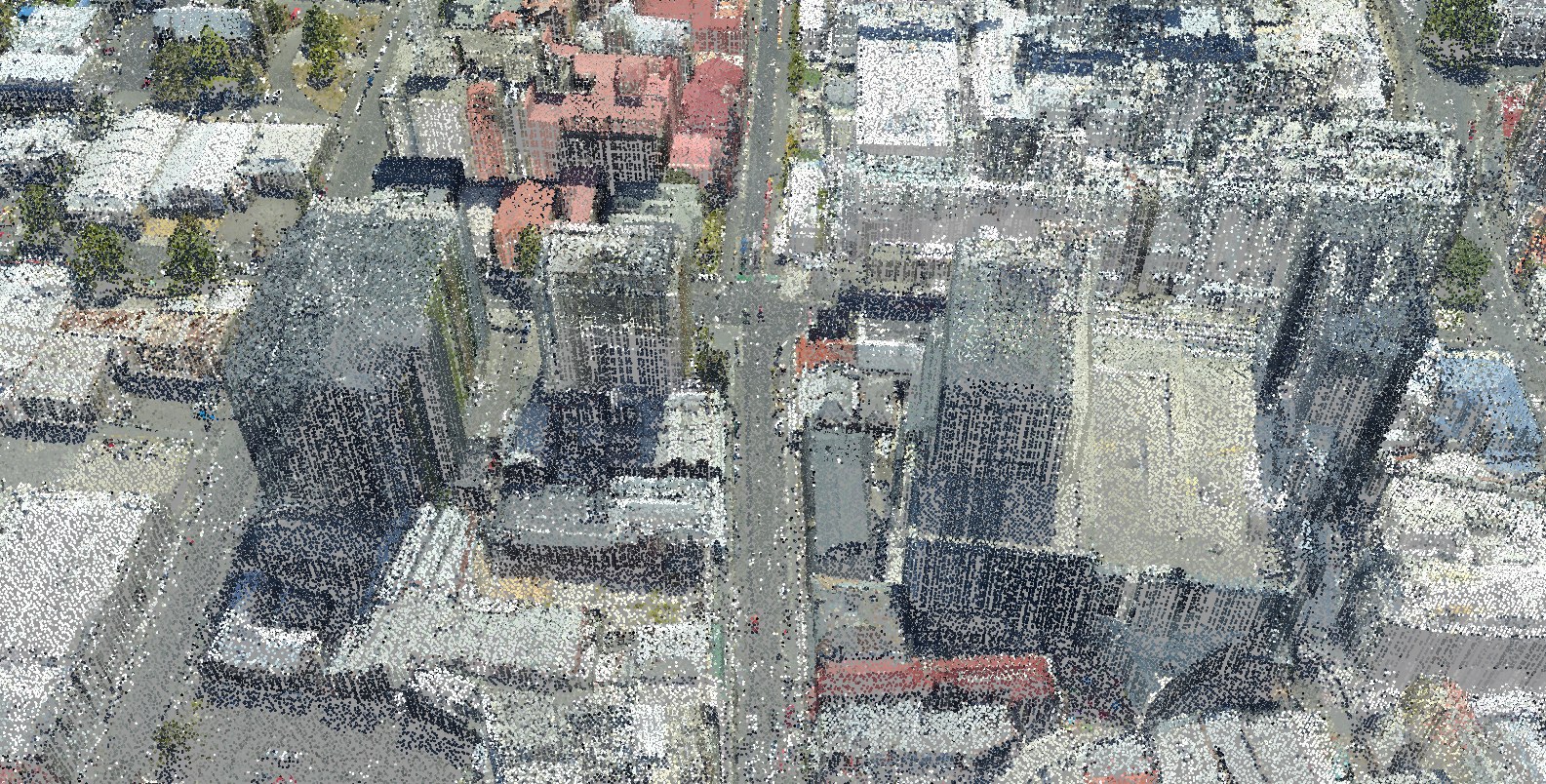
Hobart city model
Three surveys, 2008 to 2024, fused in true colour.
The showcase ↗Showcase: GroundMap processing of public survey data, not client work. Survey data: Hobart City 2023/24 (captured by Fugro for the State of Tasmania; theLIST; CC BY 3.0 AU), Climate Futures Derwent 2008 (captured by DiMAP for ACE CRC; ACE CRC licence) and Mount Wellington 2011 (no licence on record), via ELVIS. Processing: GroundMap.
What we do
LiDAR processing and correction, Australia-wide. Capture flown to our specification by CASA-certified operators.
All capabilities ↗